Looking for calm, easy kayaking spots in Sydney for beginners? The kind with flat water, no big waves, no heavy boat traffic — and definitely no paddling across Sydney Harbour?
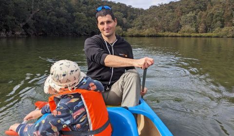
When we first moved to Sydney and bought our first canoe, I was determined to find sheltered waterways where we could safely experiment. I wasn’t interested in rough currents, open water, or fighting the wind with a four-year-old onboard. I wanted peaceful creeks, protected rivers, and short routes where we could build confidence without tipping over.
Sydney Harbour might look sheltered on a map, but once you see the ferry wakes and feel the wind funnel through, you quickly realise it’s not ideal for first-time paddlers. I’d seen plenty of kayaks flip — and I didn’t want that to be our introduction to canoeing in Sydney.
So I went searching for genuinely beginner-friendly kayaking routes — calm water, minimal current, safe launch spots, and places where families can paddle without stress. We did so, on many occasions now. And even as we’re getting more confident, I enjoy returning to these places for a calm paddle on a sunny day.
These are the easiest and most enjoyable kayaking and canoeing spots in Sydney that we’ve personally tried and loved. If you’re new to paddling — or just want a relaxed, scenic route — these places are perfect.
The best easy kayaking spots in Sydney (map overview)
First of all, here are all the routes mentioned in this article, marked with different colors so that you can easily match them with my descriptions.
Read on to learn more about each.
Quick comparison: easiest kayaking spots in Sydney
A quick summary of the most beginner-friendly kayaking routes in Sydney:
| Location | Tidal? | Best For | Difficulty | Notes |
|---|---|---|---|---|
| Cockle Creek (Bobbin Head) | Yes (very shallow at low tide) | First-timers, families | ⭐ Very Easy | No powerboats, very sheltered |
| Cowan Creek | Yes | Relaxed paddling | ⭐ Easy | Calm, scenic, watch water depth |
| Lane Cove River | Minimal tidal effect | Absolute beginners | ⭐ Very Easy | Calm, sheltered, close to city |
| Middle Harbour Creek | Yes | Confident beginners | ⭐ Easy–Moderate | Narrower and calmer upstream |
| Bantry Bay | Yes | Calm weather only | ⭐⭐ Moderate | Can get choppy in wind |
| Berowra Creek (South) | Yes | Peaceful bush setting | ⭐ Easy | Narrower, more sheltered |
| Berowra Creek (North) | Yes | Longer paddles | ⭐⭐ Moderate | More exposed, plan with tide |
If you’re completely new to kayaking, start with Cockle Creek or Lane Cove River. Both offer calm water, short distances, and minimal stress — perfect for building confidence.
The best beginner-friendly kayaking & canoeing spots in Sydney

After we moved to Sydney and bought our first canoe, I busily researched where to go first to try it. If you’ve ever taken a closer look at the waves in Sydney Harbour, you understand that I didn’t even consider that. Sydney Harbour is sheltered if you compare it to the open sea, and it’s surely sheltered enough for ferries and yachts (on most days), but not enough for canoes. Yes, I did see people kayaking and canoeing on Sydney Harbour – and I also saw plenty of them tipping over. I didn’t want that to be our first canoeing experience in Sydney with our 4-year-old son.
I didn’t want to get wet either, and you don’t even need to tip over for that on a windy day in Sydney Harbour. (Wind matters A LOT, anyway, when you go paddling, but more on that later.) What I was looking for was sheltered, calmer water where I can feel safe and enjoy paddling rather than fight with the force of the ocean (it’s quite obvious who’d win). My arms were not that strong, anyway. (They’re still not strong enough.)
I was a beginner, looking for an enjoyable first experience. Here are the places where I found it:
1. Bobbin Head, Ku-ring-gai Chase National Park (best overall for beginners)

Bobbin Head is one of the very best places to go paddling in Sydney for beginners. It’s in Ku-ring-gai Chase National Park and is a beloved outdoor destination for local families. There’s a large waterfront picnic ground, a huge (and fenced) playground, several bushwalks, boat rentals and a convenient canoe launch area. And several great, short and easy canoe routes to explore! If you’d like to combine your paddle with a short hike, here are the best walks in Ku-ring-gai Chase National Park.
All three routes I’m sharing are out-and-back routes, so you’ll paddle in both directions.
If you’d like a detailed comparison of the different launch areas inside Ku-ring-gai Chase National Park — including Bobbin Head vs Akuna Bay, wind exposure, and route options — I’ve written a complete guide to kayaking in Ku-ring-gai Chase National Park to help you choose the best spot for your experience level.
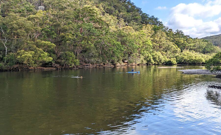
Cockle Creek Paddle (purple route) – the easiest calm water kayaking route in Sydney
This is the easiest canoeing route from Bobbin Head, but there’s one trick: don’t paddle at low tide. Because there won’t be enough water to paddle, and you’ll get stuck in the mud.
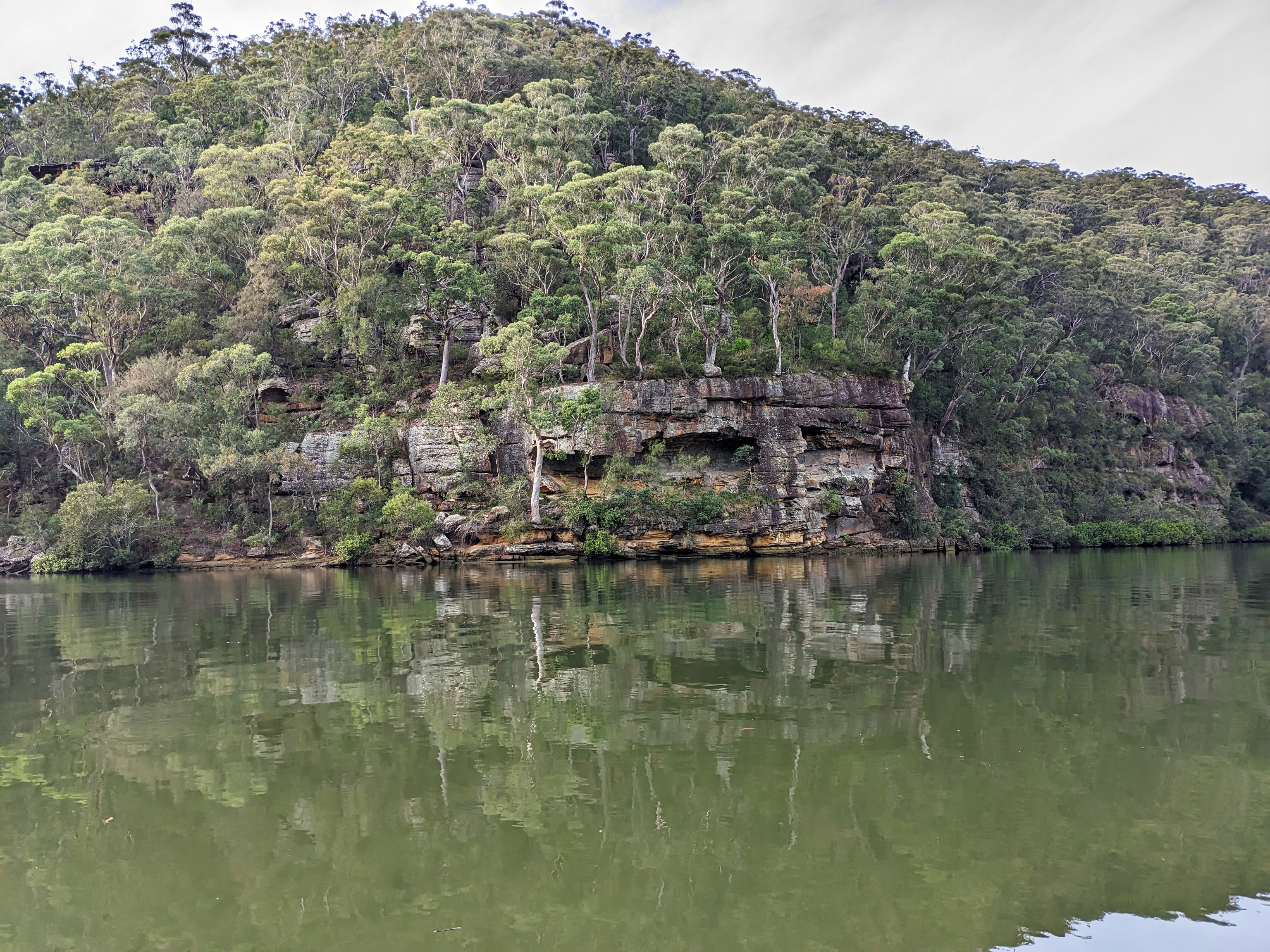
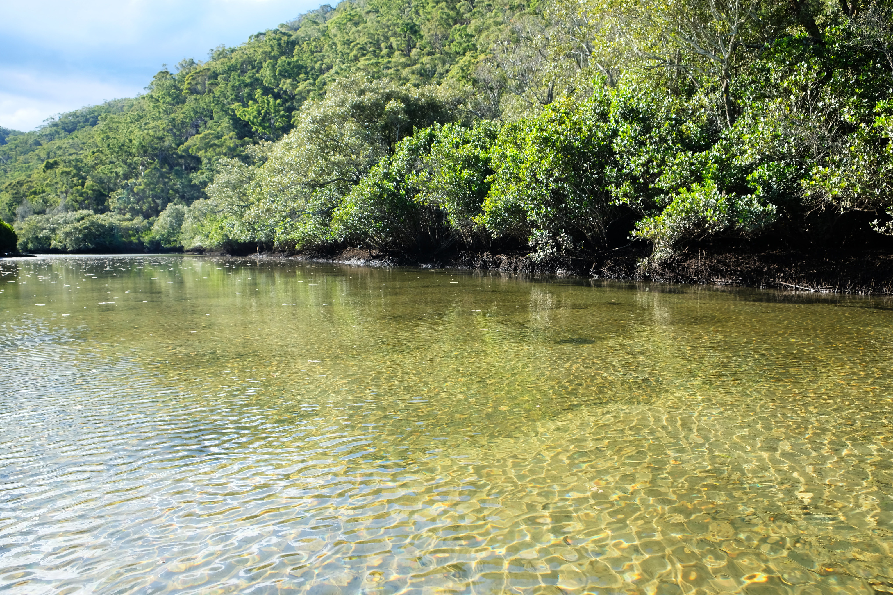
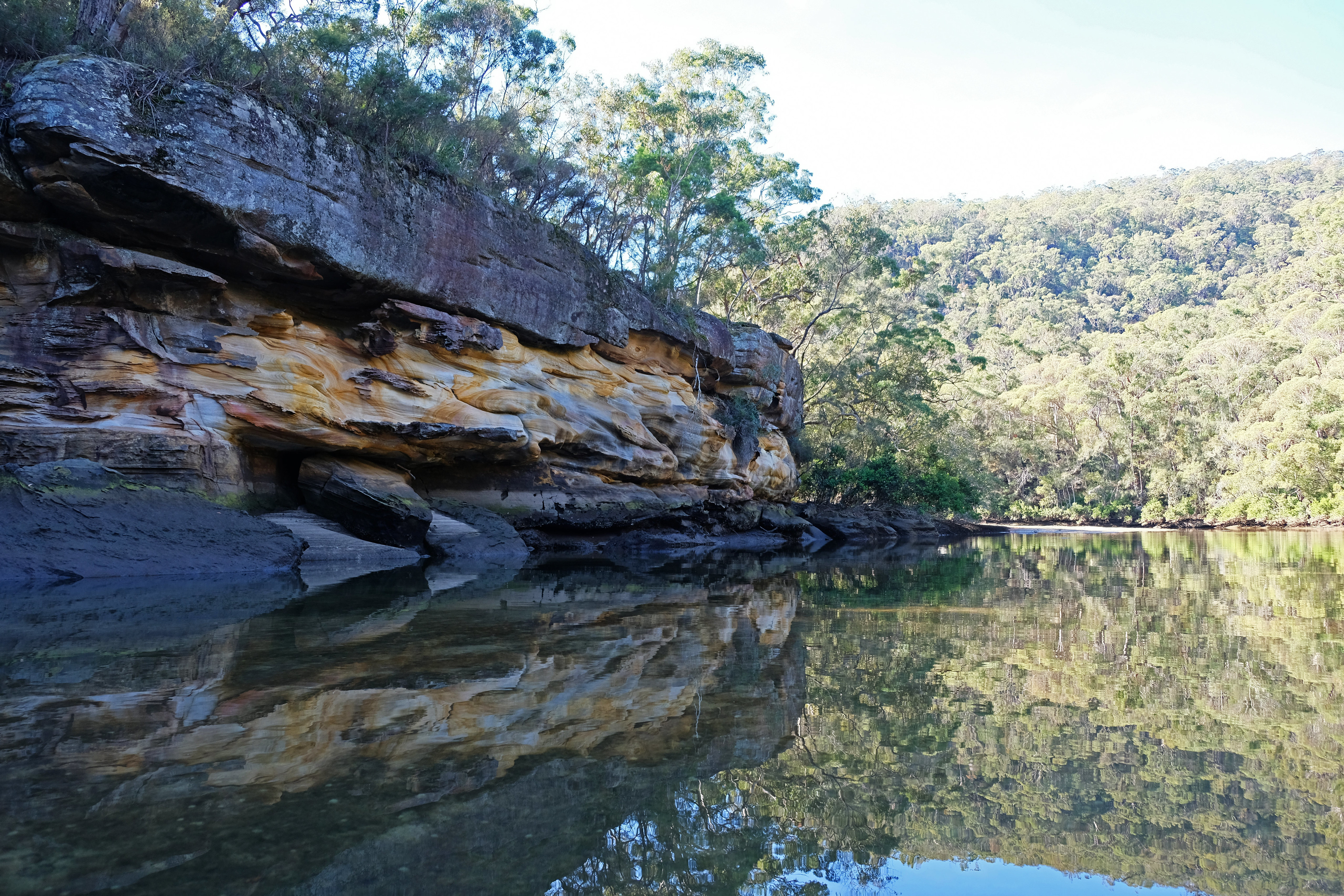
The initial route is 1.81 km one-way, and there’s an additional 494 meters to add, if you paddle into a narrow branch of Cockle Creek. The water is sheltered and calm, great for beginners and kids, and powered boats are not allowed on Cockle Creek. You’ll be surrounded by eucalyptus forests and pass along large, orange-yellow cliffs. The landscape feels wild and untouched, yet it’s very easily accessible, and it’s a very short paddling route. It’s the best introduction to canoeing in Sydney in my opinion.
If you arrive at low tide, start in the other direction, exploring Cowan Creek first.
Cowan Creek paddle (red route) – sheltered and scenic for families
It’s another easy canoe route. You start in the other direction from the canoe launch, paddle under the bridge, then turn right, pass the Empire Marina and paddle as far as you like (or as you can, because the water gets too shallow after a while).
How far you can paddle depends on the tide, and this route has very shallow areas where there won’t be enough water to paddle at low tide. You can navigate between the sandy banks and islands if you’re up to it though. As the tide rises, the water level becomes quite convenient, yet the water remains relatively sheltered and calm. It’s less sheltered than Cockle Creek, but more sheltered than Apple Tree Bay (the blue route on our map).

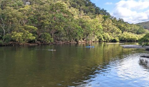
When we tracked our route, we paddle about 4.74 km one-way. We turned back, because as Cowan Creek narrowed the water got too shallow. We like this route very much. We enjoy the calm, peaceful water, the lush greenery, and we usually see lots of birds, mainly herons and cormorants.
Cowan Creek to Apple Tree Bay (blue route) – for confident beginners
This is the most challenging paddling direction to choose from the Bobbin Head canoe launch. As you head towards Apple Tree Bay, you’ll notice how the creek gets wider and the currents stronger. Out of the three routes from Bobbin Head it’s here that you’ll experience what it means to paddle on a tidal river.

The level of tidal rivers rise and fall twice a day, and they flow in both directions based on tides. (Read more on tidal rivers later in this article.) While you might notice this on the first two routes I mentioned, we didn’t find it too hard to paddle against the flow there. It’s a bit different in this direction.
You’ll feel the strength of the flow, and windy conditions can make this route much harder. While you can choose to paddle against the tide (we did), if you want an easy paddle, go with the flow. Check the tide times and plan accordingly. But even if you can’t fully optimize the time, you will be able to paddle against the flow for a while, it’s just more tiring. The water can be rougher if it’s windy, so you want to choose a calm day.
The furthest we paddled was 5.31 km, then we turned back. But you can go as far as you like, or turn back exactly as the tide changes (it might not be realistic on just any day though).
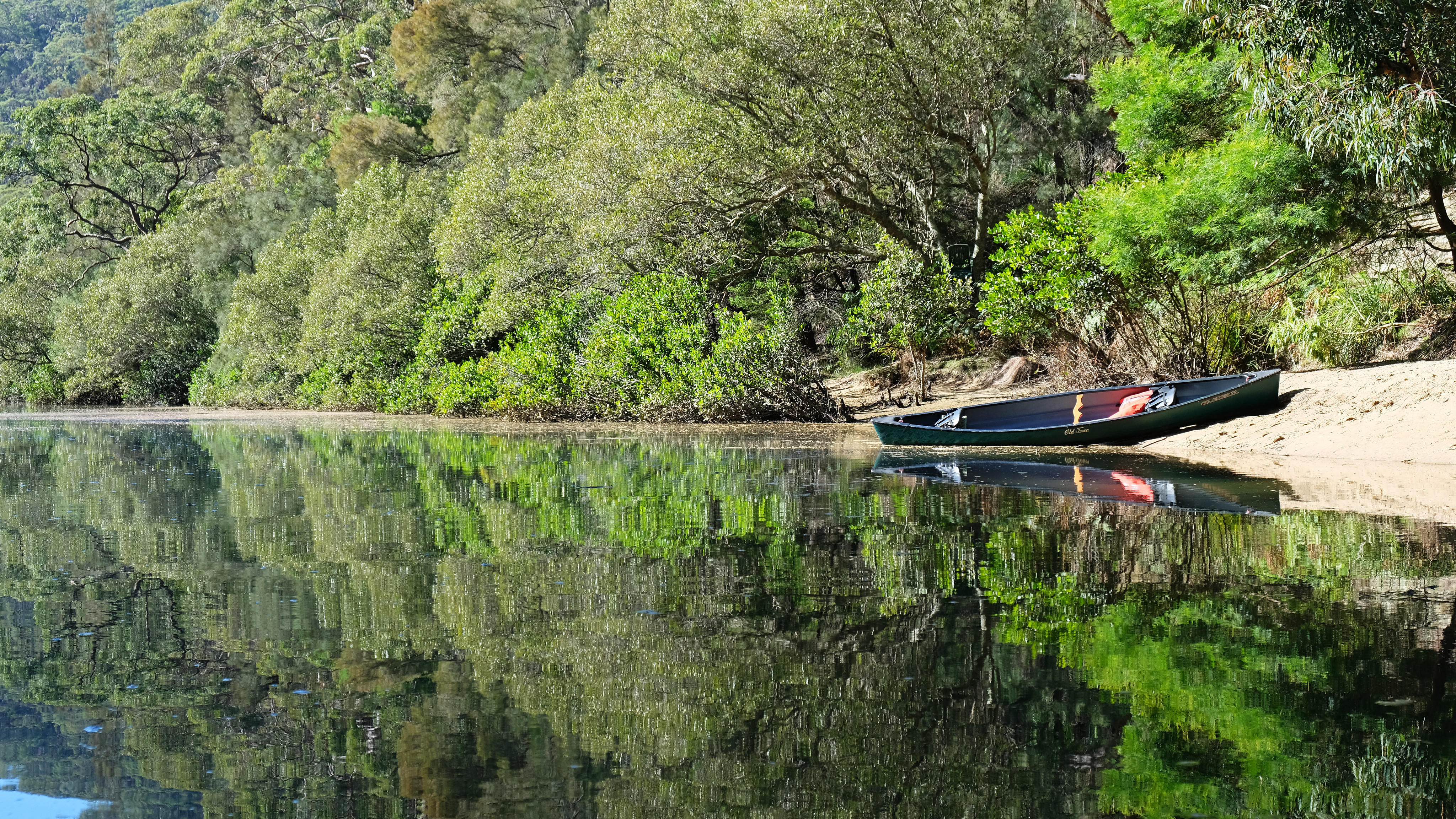
2. Lane Cove River from Cottonwood Glen (no tides, very calm water)

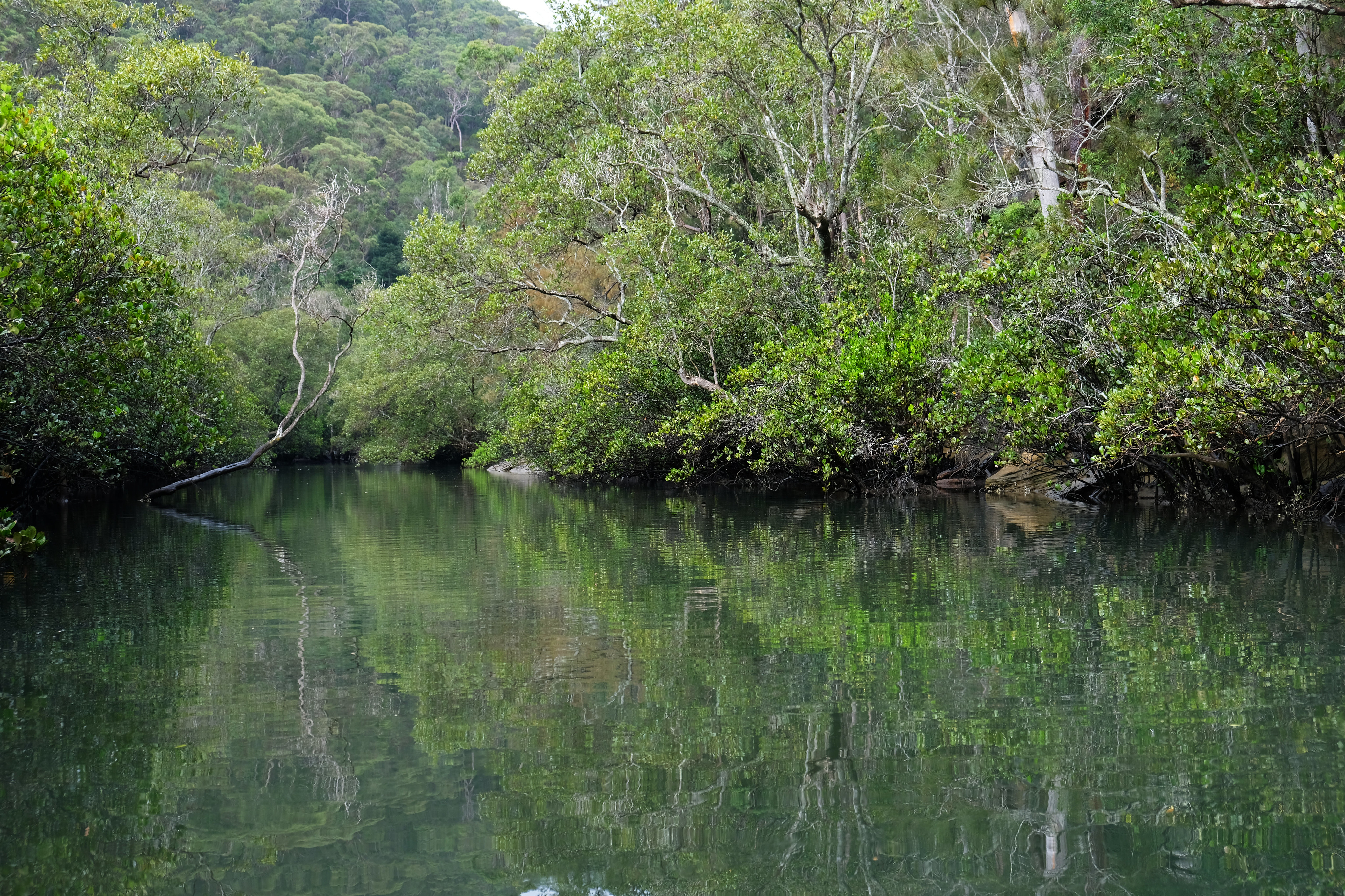
Paddling on Lane Cove River in Lane Cove National Park is a delightful experience. It’s an easy route, and one that’s close to the center of Sydney, too. Tides or currents are not a problem here, the water is calm, and the surrounding forest gives shelter even on a windy day. You can spot water dragons basking in the sun, and cheeky kookaburras will hunt for your sandwich.
Our favorite starting point is the Cottonwood Glen picnic area. It’s part of Lane Cove National Park, and you need to pay entrance fee (or buy an NSW parks annual pass). It has a large parking area, nice picnic tables and toilets and a basic canoe launch area. It’s a convenient launch point, and you can choose to paddle northwards or southwards.
Northbound paddle to the Lane Cove Bridge (easy out-and-back route)
We explored the northward route up until the bridge, which is about 3.27 km one-way. The southward direction seemed to be just as pleasant, but we didn’t have the time to try it, and we haven’t returned to the Lane Cove River with our canoe ever since. Sigh. Smile. There’s a lot to do outdoors in Sydney all year.
If you enjoy calm river paddling like this, you might also love the Kangaroo River in Kangaroo Valley. It’s one of the most peaceful flat-water paddling experiences in NSW and ideal for couples or families looking for a weekend escape. Read more about paddling and other great things to do in the Kangaroo Valley here.
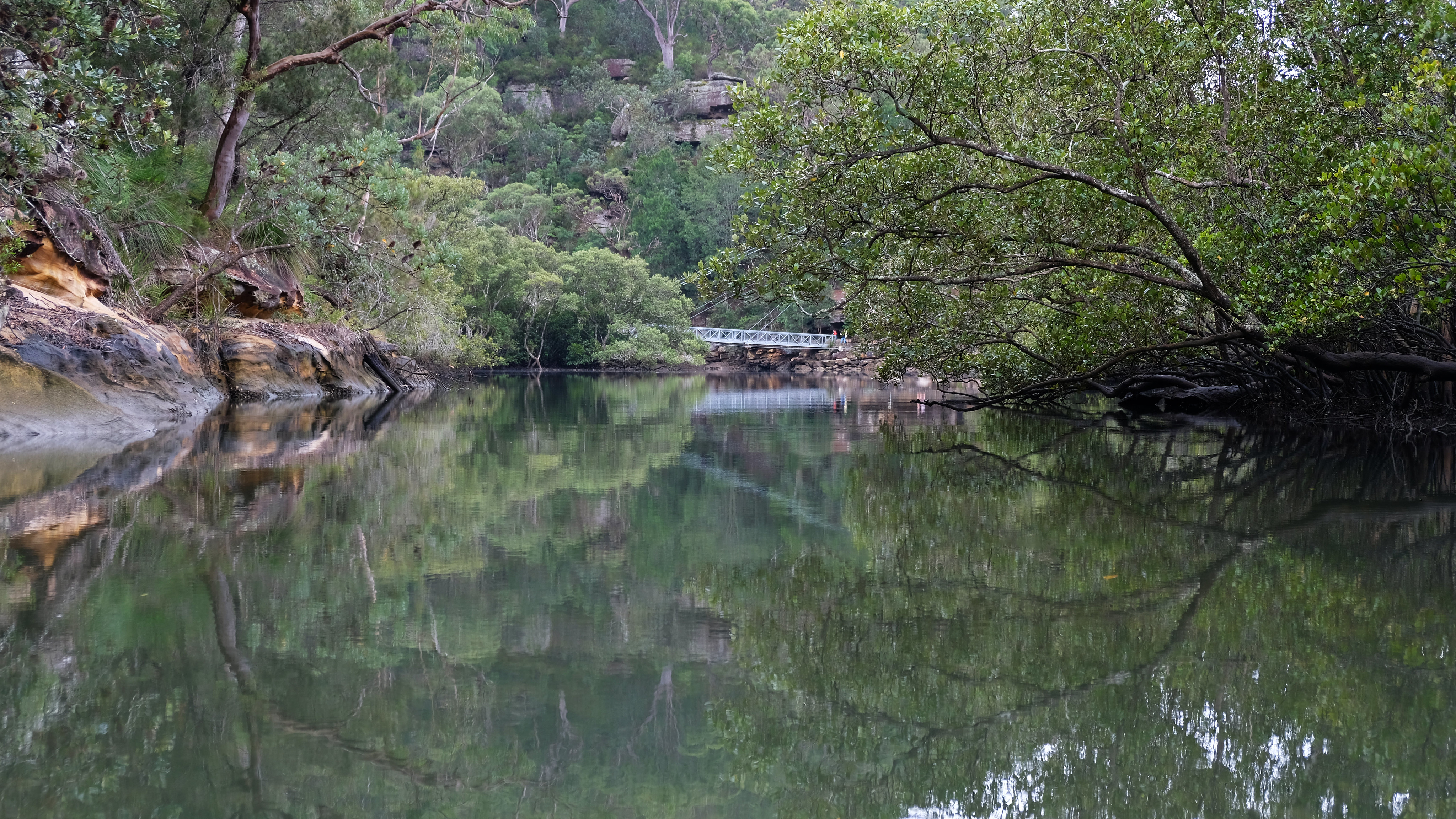
3. Davidson Park, Middle Harbour (sheltered harbour kayaking)
When it comes to sheltered Sydney Harbour paddling, Davidson Park in Garigal National Park is one of our favourite launch spots. The park itself offers much more than just canoeing — here are the best things to do in Garigal National Park if you’re planning a full day out.
And the best bonus? The large grassy picnic area is also one of the easiest places to see wild wallabies in Sydney. We’ve often spotted them grazing near the benches in the late afternoon. If wildlife encounters are part of the adventure for you, here’s a detailed guide on where and when to find wild wallabies in Sydney.
But let’s get back to launching your canoe: Davidson Park has two nice launching areas, one on either side of the bridge.
Obviously, these waterways are affected by the tides, but generally, they’re still quite safe. You’ll be able to paddle against the tide, but it requires effort. It’s best to plan a route which doesn’t go against the tide, but since both paddling routes are out-and-back, you can decide if you want to wait or work hard as you turn back.
Middle Harbour Creek paddle (blue route) – narrower, calmer and more protected
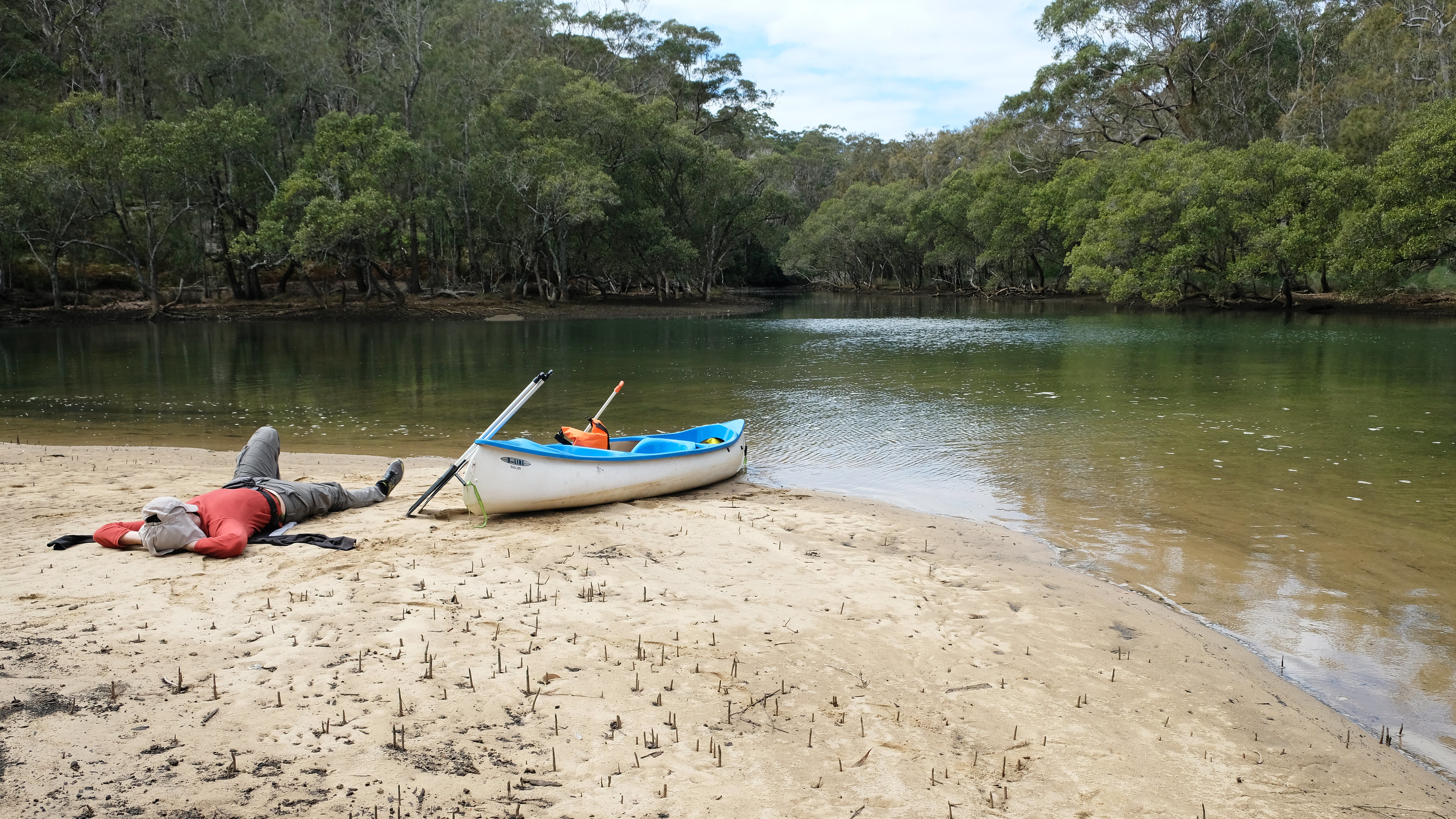
taking a break on a sandpit at low tide
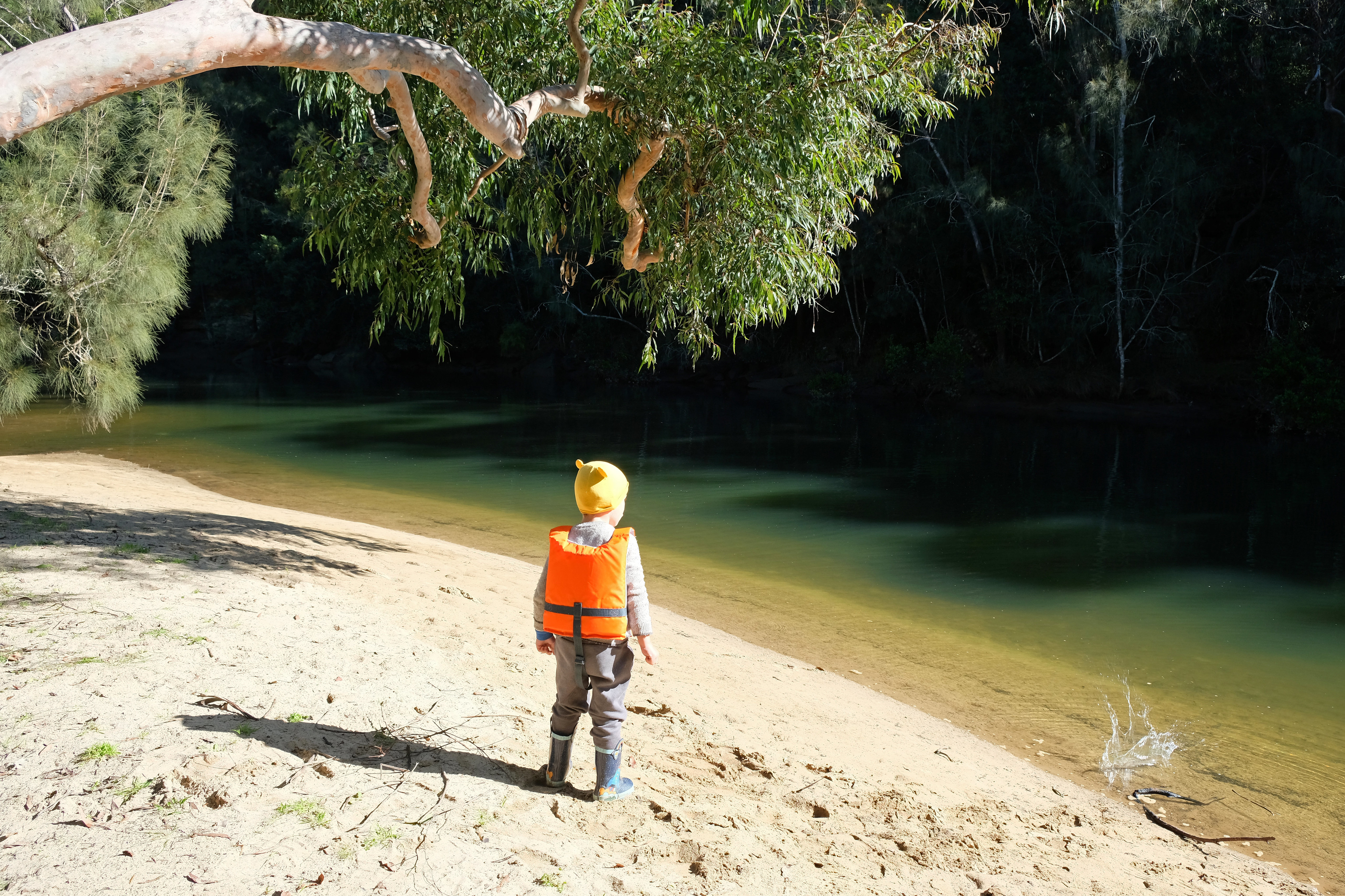
Middle Harbour Creek is a tidal river, but it’s getting narrower and calmer as you paddle north. It’s the easier of the two routes from Davidson Park, and you can choose your canoe launch point.
If you start from the canoe launch at the boat ramp area, it takes about 4.39 km one-way to paddle up on Middle Harbour Creek. We turned back when the water was too shallow to paddle further (at Rocky Creek).
But if you launch your canoe from the sandy beach (marked as “Davidson Park canoe launch 2.” on our map), the route is shorter, and you can choose to explore both directions separately. This beach area is not an official canoe launch, but it’s ideal, and it’s close enough to the parking lot, towards the end of the road in the northern area of Davidson Park (just before Lyrebird Track starts). There are picnic benches and a huge grassy parkland on the riverbank here, and it’s a quiet park that we’ve never seen crowded.
It might be possible to paddle on Carroll Creek for a little while, if you’d like to lengthen your route, but not at low tide.
Bantry Bay paddle (green route) – open water but manageable in calm conditions

We found this route a bit challenging, because it was a windy day, and we haven’t checked the tide conditions before. (We are strong, right? Apparently, not strong enough.) But it can be a pleasant, easy route with some planning – and in calmer conditions.
You start from the canoe launch at the boat ramp area (or at the sandy beach if you want to make it longer), and head out towards the ocean. You won’t get anywhere near the open sea, only to Bantry Bay, one of the narrowest “fingers” of the well-indented Sydney Harbour.
But the water surface in Bantry Bay is large enough so that wind can make larger waves, and the flow caused by the changing tide is stronger than on Middle Harbour Creek. It’s possible to paddle against it, but it’s hard work (we’re telling that from experience).

We paddled 3.98 km, all the way to the northern end of Bantry Bay. The mangrove forest there is quite spectacular. You can get down there on the Bluff Track, as well, through the Bluff Lookout. The Bantry Bay picnic area is a lovely place to rest, and it has a small pier, too.
We passed Flat Rock Beach on the way, and we stopped there on our way back. It’s a shallow, protected beach, though the sand completely disappears at high tide.
4. Berowra Waters & Berowra Creek (peaceful bushland paddling)
The Berowra Waters Marina gives access to another great, sheltered waterway, Berowra Creek. There’s a small boat ramp where you can launch the canoe, and parking is very close (and it’s free).
Then you’re in Dusthole Bay, and you can choose to paddle south or north. Keep the tides in mind, as the flow can be quite strong here, especially in the northwards direction as Berowra Creek widens.
Southbound Berowra Creek – easier and more sheltered

Paddling southwards is the easier route of the two, because the creek is narrower and more sheltered as it flows south. You can see our sample route on the map (4.91 km one-way), and the reason it doesn’t continue all the way to Crosslands Reserve is low tide. The water is too shallow for paddling after a while.
If you paddle at high tide, you can get to Crosslands Reserve, just make sure you won’t get stuck in the mud as the tide is falling. Or you can have a second car at Crosslands Reserve to make it a one-way paddle. (This is not an option for us.)
This side of Berowra Creek is quiet, and you can observe lots of birds if you don’t disturb that quietness.
Northbound towards Twin Beaches – for longer paddles
Your other option from the Dusthole Bay boat ramp is heading north, towards the Twin Beaches campground and the Hawkesbury River. The campground is a 20 km return round-trip, so it’s an overnight canoe trip – we haven’t paddled as far yet. But you can go as far as you want in this direction, it’s open water, surrounded by the lush green hills.
Plan to paddle with the tide, otherwise your progress will be slow and will burn a lot of energy.
What to know before kayaking in Sydney
Understanding tides on Sydney’s rivers
How tidal flow affects your paddle
Here’s the thing: I was used to rivers running in one direction. On those rivers you’d simply paddle in the direction of the current. But coastal rivers – ones that connect to bays or the ocean – can flow in both directions based on tides, and their water levels rise and fall twice each day. And the closer you get to the ocean, the more the flow of the river is affected by the tides.
To make things easier for yourself, you want to paddle in the same direction the river is flowing – which is not at all obvious and requires some research when you plan to paddle on a tidal river. It’s possible to paddle against the tide, but it might be hard work for a little reward. Or it might be okay on certain rivers.
As the tide is falling, the water is moving back out to sea. In a river (or bay), it doesn’t only mean lower water levels, but also that the river is flowing out to sea. At low tide the water flow reverses. As the tide is rising, the water in the river is flowing towards the mainland. At high tide the flow of the water reverses again.

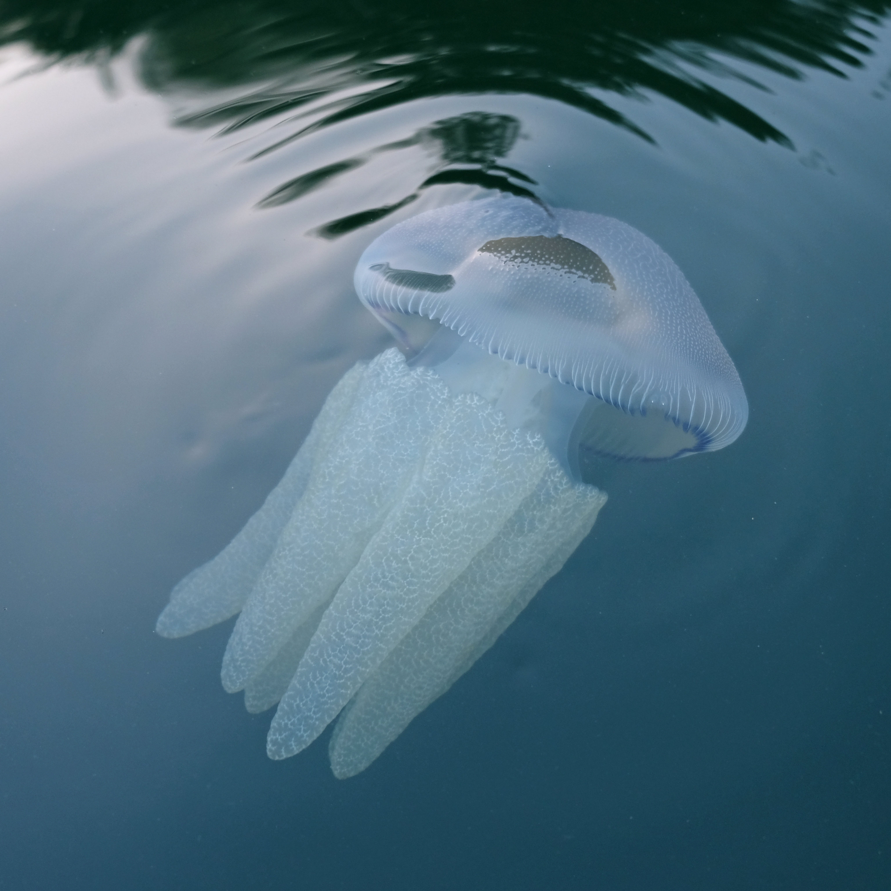
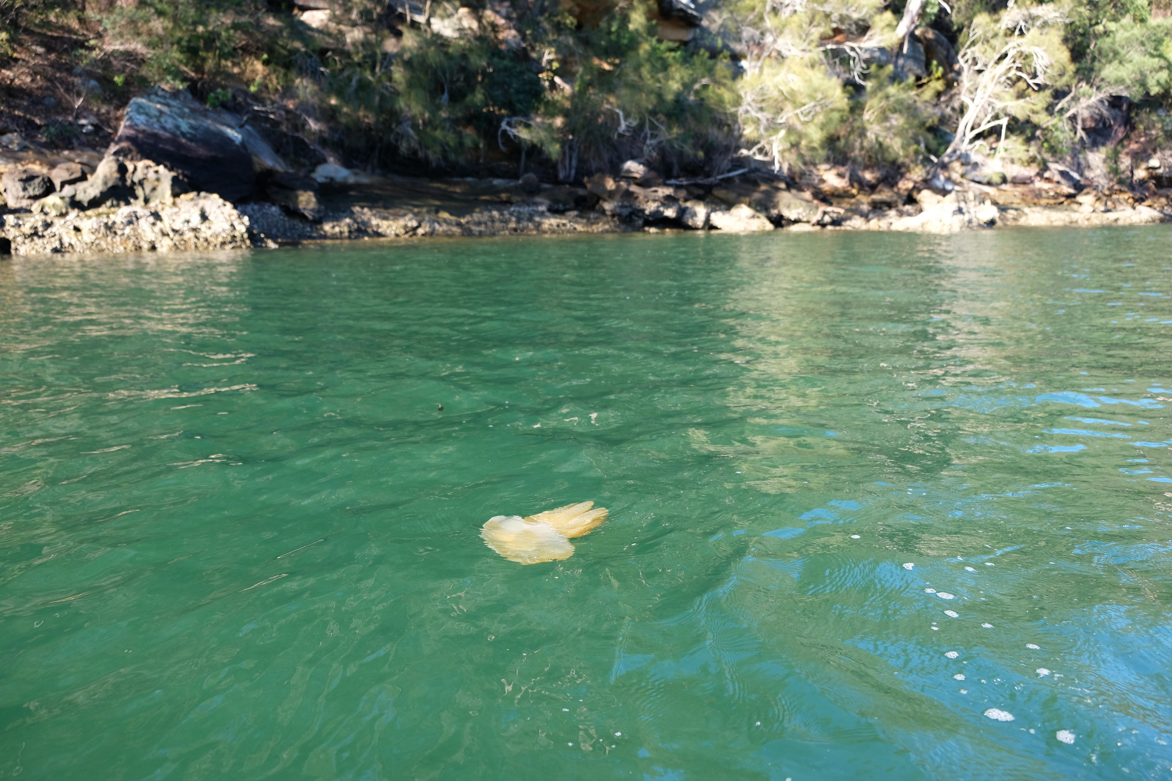
another reality of tidal rivers: sometimes thousands of jellyfish can be washed up
If you’d like to see how tidal river paddling works in a relaxed coastal setting, the Nambucca River and Warrell Creek at Nambucca Heads are excellent examples. The tides matter there too, but the waterways are wide, scenic, and beginner-friendly with the right timing. Read our Nambucca Heads paddling guide.
When currents are strongest
Easy? That’s not all. The type and speed of the tidal currents are just as important. While you can check the tide times for a certain location, tidal currents can’t be predicted if you’re unfamiliar with the river. How far up a river will the tides have an effect? It depends on geology and can be different for each river. If the land is well-indented and there are lots of bays and channels connecting to each other, it can get more complicated.
There are some general rules, like when currents typically reach maximum speeds (about halfway between low tide and high tide), but it heavily depends on that particular river. It’s best to ask someone who’s familiar with the river.
Why water levels matter for beginners
Finally, the obvious: low tide means lower water levels. In some rivers this might mean that there won’t be enough water to paddle at low tide. It’s very typical on these beginner routes on the narrower sections of the creeks, and it’s not a problem if you arrive at these sections at low tide. However, if you paddle far into a shallow waterway at high tide, you might get stuck in the mud as the tide is falling.
Always check wind conditions before you go
If you checked the tides and asked about the tidal currents, there’s one more thing to check: the wind. Wind conditions can be very different on the spot than back at home, and they can also be different on the launching spot and in the middle of the river.
Tidal rivers tend to be quite exposed, so strong wind can make your trip unenjoyable, or even worthless. And there’s one more special thing to consider when canoeing on tidal rivers: the combined effect of the tide and the wind. If they are in the same direction, conditions are relatively calm. But if they’re opposed, paddling can become hard work on the choppy water.
Beginner canoeing gear checklist (practical picks for NSW paddlers)

When we started paddling in Sydney, I didn’t want expensive expedition gear. Simple, reliable equipment was what I was looking for — something that works on calm rivers and doesn’t cost a fortune.
Inflatable kayaks would have been my first obvious choice. But since we paddle as a family of three (including a preschooler who may or may not feel like paddling), we ended up buying a canoe from another family in our neighbourhood.
And honestly? That’s what many beginners do. Large boats are often better bought second-hand locally. Where we did use Amazon (a lot) was for the smaller gear — the practical essentials that make a big difference on the water.
If you’re sticking to sheltered waterways like Cockle Creek, Lane Cove River or Berowra Creek, you don’t need premium touring equipment. But a few well-chosen basics will make your trip safer and far more enjoyable.
Here’s what I’d prioritise.

Quick beginner paddling gear overview
| Gear Item | Buy New or Used? | Why It Matters | Best For | My Tip |
|---|---|---|---|---|
| Inflatable Kayak | New (or used locally) | Affordable, easy to store & transport | Couples & small families | Choose wide, stable models for calm rivers |
| Canoe (hard shell) | Used (local marketplace) | Durable & great for families with kids | Family paddling | Often much cheaper second-hand |
| Life Jacket (Level 50S) | Always New | Safety & NSW compliance | Everyone | Check correct weight rating |
| Child-Size Paddle | New | Makes paddling easier & more fun | Preschool & primary kids | Lightweight aluminium shaft is fine |
| Dry Bag (10–20L) | New | Protects phone, keys & spare clothes | Everyone | Bright colour = easier to spot |
| Tide App | Free | Prevents getting stuck or fighting current | Sydney tidal rivers | Check before every trip |
Inflatable kayak (if you don’t want to buy used)
If you’re not ready to hunt for a second-hand canoe, a good-quality inflatable kayak is the simplest way to start.
They’re:
- Easier to store
- Transported in the boot of your car (no need for a roof rack)
- Stable on calm water
- Ideal for short beginner routes
For Sydney’s sheltered rivers, look for:
- A wide, stable base
- Multiple air chambers
- Reinforced PVC
- A weight capacity that suits your family
Intex models are common entry-level options in Australia and perfectly suitable for calm creeks and tidal rivers in good conditions.
👉 See beginner-friendly Intex inflatable kayaks on Amazon AU here.
If you’re serious about paddling long term, you might eventually upgrade. But to get started, they’re more than enough.

Australian-approved life jacket (non-negotiable)
This was the first thing we bought new. Even on calm rivers, a properly fitted Australian Standard–approved life jacket is essential — and it’s mandatory for everyone.
For sheltered waters, look for Level 50S. If you’re not sure, this is a good guide about the approved types of life jackets in NSW.
Comfort matters more than you think. If it’s bulky or rubs, you won’t be happy wearing it. We found this model a comfortable fit, and they offer life jackets both for adult and kid sizes.
👉 Browse compliant life jackets on Amazon AU.
Child-size paddle (makes a huge difference)

Our canoe came with three paddles, but they were all adult sized. It quickly turned out that giving a preschooler an adult paddle is frustrating for everyone. It’s too long, too heavy, and awkward to handle.
This lightweight child-sized paddle suddenly reduced most complaints, and I was happy to see how my son got more independent and enjoyed getting involved — even if he only paddled for ten minutes at a time.
10–20L dry bag or wet bag
Most of our “small gear” purchases were practical things like this. A lightweight dry bag protects phones, car keys and spare clothes. Even without capsizing, paddle drips and splashes will slowly soak your belongings, particularly if you’re paddling with a child.
It’s one of the cheapest items that makes the biggest difference.

Check the tides (free but essential)
Many Sydney rivers are tidal — including Bobbin Head, Berowra Creek and Middle Harbour.
Before every trip, we check:
- Tide height
- Tide direction
- Wind forecast
I usually use WillyWeather or a simple tide app. Understanding the tide helps us not get stuck in mud at low tide and avoid fighting unnecessary currents. Paddling against the tide can turn an easy outing into hard work.
What we didn’t buy (and you probably don’t need)
For calm beginner routes, you don’t need:
- High-end sea kayaks
- Carbon fibre paddles
- Spray skirts
Just start simple, try a few easy routes and see if you enjoy it.
Is Sydney Harbour safe for beginner kayakers?

Short answer: generally no — not for first-time paddlers.
While Sydney Harbour might look protected on a map, it’s not the calm, flat-water environment most beginners imagine. The harbour is busy, exposed, and heavily affected by wind, boat wakes, and tidal movement.
Here’s what makes it challenging for new kayakers:
- Constant ferry traffic creating rolling wake
- Fast-moving powerboats and yachts
- Wind funneling between headlands
- Strong tidal currents in some sections
- Large open-water crossings between bays
Even on a relatively calm day, the combined effect of wind and boat wake can make the water surprisingly choppy. And unlike narrow creeks or rivers, there’s often no sheltered bank to quickly pull into if you feel uncomfortable.
Yes, experienced kayakers paddle Sydney Harbour safely every day — but it requires confidence, good boat control, and awareness of marine traffic rules.
Once you’re comfortable handling small waves, wind, and currents, you can gradually explore more open sections of the harbour — but it shouldn’t be your first paddling experience in Sydney.

Just start paddling
With all that said, there are few days when conditions are perfect, and there are quite a lot of days when conditions are reasonable, and the effort is worth it. I had countless delightful canoeing trips on these routes, including those when I had to paddle against the tide or the wind. They’re short, so even if it’s harder to paddle, they won’t tire you out that much.
They’re not the only safe and easy canoeing routes in Sydney, but they’re the ones I know and have tried, so I can recommend them for beginners with confidence. Do you know more? Tell me about them in the comments.
If you’re ready to move beyond sheltered beginner routes and experience a wilder side of paddling in NSW, the Colo River offers remote bushland scenery and a true escape into nature.
Save money with an NSW National Parks Annual Pass
Many of the paddling spots in this guide — including Ku-ring-gai Chase National Park, Garigal National Park and Lane Cove National Park — charge a vehicle entry fee.
If you’re only visiting once, the daily fee is reasonable. But if you enjoy exploring Sydney’s national parks regularly, an annual pass quickly pays for itself. We buy a Multi-Park Pass each year (the one that includes all NSW parks, except Kosciuszko).

How much does it cost?
There are several NSW National Parks annual pass options available. We found that the most practical and popular for Sydney-based families is the Multi-Park Pass, which currently costs AUD $65 per year.
Prices can change, so it’s best to check the official NSW National Parks website for the latest details.
When is an annual pass worth it?
An annual pass is usually worth it if:
- You visit (fee-collecting) national parks more than 4–5 times per year
- You paddle regularly at Bobbin Head or Lane Cove
- You combine kayaking with bushwalks and picnic days
- You explore multiple parks across Sydney and regional NSW
For us, it made sense because we rarely go to just one place once. If you enjoy outdoor family days, the pass removes that small “entry fee hesitation” and makes spontaneous trips easier.
A good excuse to explore more

Once you have the pass, you’ll likely find yourself exploring more:
- New bushwalking tracks
- Waterfalls and lookouts
- Quiet picnic areas
- Wildlife-rich creeks
- Coastal national parks beyond Sydney
If you’re planning to paddle in multiple NSW parks this year, the annual pass is one of the simplest ways to reduce costs and make the most of what’s already on your doorstep.
More canoeing & kayaking adventures in NSW
If you’re planning more paddling trips beyond Sydney, you might also enjoy:
- Kangaroo River in Kangaroo Valley (perfect calm water escape)
- Nambucca River & Warrell Creek on the Mid North Coast
- The wild and scenic Colo River near Sydney

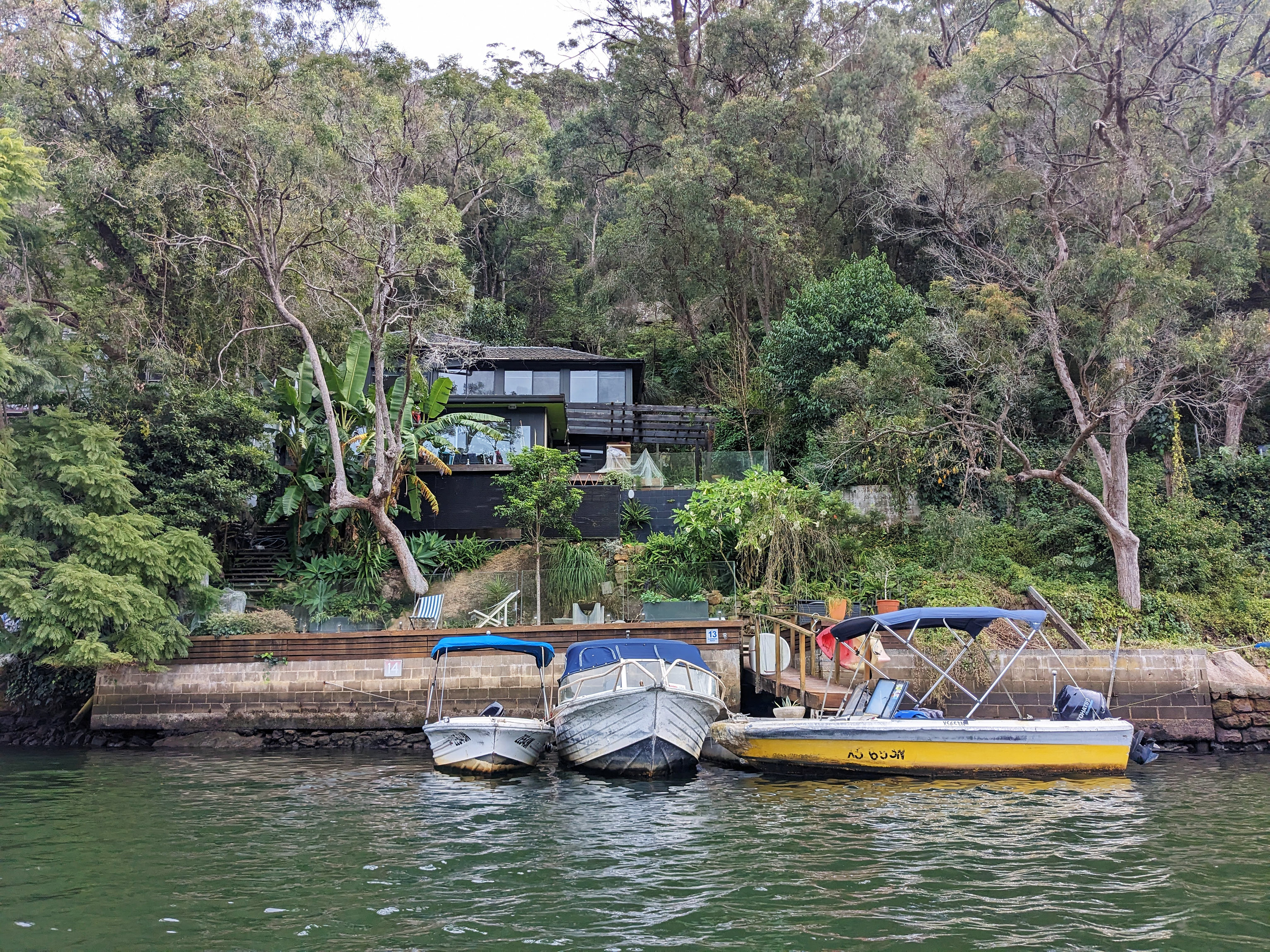
a calmer section of Sydney Harbour: Sirius Cove
FAQ: Kayaking in Sydney for beginners
Is Sydney Harbour safe for beginners?
Generally, no. Sydney Harbour is busy and exposed, with ferry wakes, boat traffic, wind, and tidal currents that can create choppy conditions. While experienced kayakers paddle there safely, first-time paddlers are better off starting on sheltered waterways like Cockle Creek, Lane Cove River, or Middle Harbour Creek on a calm day.
When is the best tide for kayaking?
The best tide for beginner kayaking is usually mid-to-high tide with light wind. Avoid very low tide in narrow creeks, as water levels can become too shallow. Currents are typically strongest halfway between high and low tide, so planning to paddle with the tide makes the trip easier.
Always check local tide times before heading out.
Do I need a permit to kayak in Sydney?
No permit is required for recreational kayaking or canoeing in NSW national parks. However, you may need to pay a vehicle entry fee in parks such as Ku-ring-gai Chase National Park, Garigal National Park, and Lane Cove National Park. An NSW National Parks annual pass can cover these entry fees if you visit frequently.
Can kids kayak in NSW?
Yes, kids can kayak in NSW, and many sheltered rivers are suitable for families. They must wear an Australian Standard–approved life jacket (Level 50S for sheltered waters). Calm, narrow waterways like Cockle Creek and Lane Cove River are ideal for beginners paddling with children.
Always supervise children closely and choose calm weather conditions.
Where can I rent a kayak near Sydney?
Kayak rentals are available at some beginner-friendly locations, like Lane Cove National Park or Berowra Waters. Availability varies by season, so it’s best to check directly with local marinas or boat hire operators before visiting.
Leave a Reply